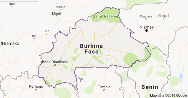
Regional map of Burkina Faso
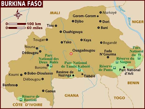
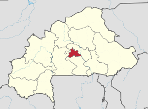
Country map of Burkina Faso
|
About Burkina FasoFull Name: Burkina Faso (formerly Upper Volta)
Continent: Africa Population: 19, 512,533 (as of july 2016) Total Area: 274, 200 sq km Land Area: 273,800 sq km Water Area: 400 sq km Size Compared to US territory: Slightly larger Than Colorado Bordering Countries: Benin 386 km, Cote d'Ivoire 545 km, Ghana 602 km, Mali 1,325 km, Niger 622 km, Togo 131 km Total Distance of Land Boundaries: 3,611 km Total Distance of Coastline: 0 km. Climate: Tropical, Hot and Damp Summers, Cold and dry winters. Terrain: Mostly flat, hills to west and southeast Lowest point: Mouhoun (Black Volta) River 200 m Highest Point: Tena Kourou 749 m |
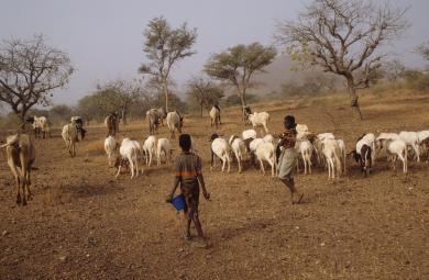
Kalsaka Village, children feeding family goats.
|

Sindou Peaks
|